
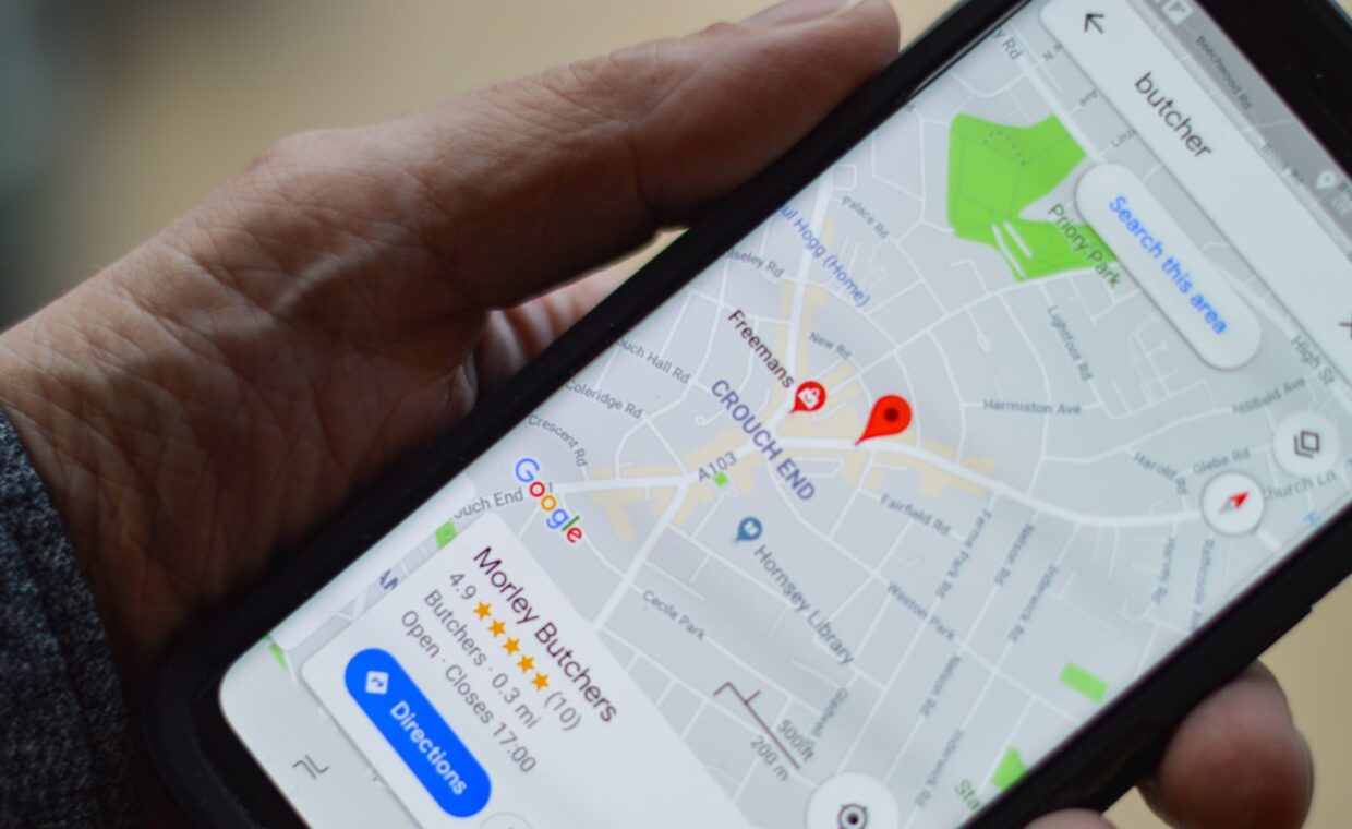
The blue dot on a map usually sits close enough to be useful, then occasionally leaps across a street, spins the direction arrow, or lags a few seconds behind your real steps. That wandering is rarely a fault, and more often the natural result of how satellite positioning works and what gets in its way. Once you can see how a phone turns faint signals from space into a location, the reasons for drift in a city, the trade against battery life, and the fixes that genuinely help all begin to make sense.
How a phone finds itself
Satellite positioning rests on timing. Each satellite broadcasts its own position and an extremely precise time stamp. The phone measures how long each signal took to arrive, converts that delay into a distance, and works out where those distances intersect. With one satellite the phone could be anywhere on a sphere; with four or more, the overlapping spheres pin it to a single point on the ground. This method is called trilateration, and it needs several satellites in view at once to work well.
Most current phones do not track the American GPS network alone. They also listen to Russia’s GLONASS, Europe’s Galileo, and China’s BeiDou, and better receivers use two radio frequencies at once. Drawing on more satellites from more systems produces a faster and steadier fix, which matters most where buildings or trees hide part of the sky.
A phone rarely relies on satellites alone. It blends their data with readings from the accelerometer, the compass, and nearby Wi-Fi networks to smooth the result and cover gaps. That habit of leaning on dedicated sensors runs right through modern handsets, the same reliance our coverage of how face and fingerprint unlock read you describes.
The head start from the network
Starting cold, a receiver can take minutes to find satellites, because it must download each one’s orbital details slowly from the signal itself. Assisted GPS, usually written A-GPS, avoids that wait. The phone fetches the same orbital and timing data over the mobile network or Wi-Fi in a fraction of a second, then knows roughly where in the sky to look.
This is why a fix feels almost instant on a phone with a data connection and much slower on a device in airplane mode or a dead zone. The network is not locating you by itself in this case. It simply hands the receiver a head start so the satellite fix settles far sooner than it otherwise would. The downloaded orbital data, known as the ephemeris, stays valid for a few hours, so a phone used regularly enjoys a warm start and locks on quickly, while one left switched off for days falls back to the slower cold start.
Why cities scramble the signal
Tall buildings are the main reason the dot jumps downtown. A signal that cannot travel straight to the phone often bounces off a glass or concrete face first, arriving a little later than it should. The receiver reads that extra travel time as extra distance, so the calculated position shifts, sometimes to the far side of the street. This effect is called multipath.
Dense streets also hide part of the sky, cutting the number of satellites in direct view and leaving the phone to work from a poor spread of them. The reflected signals confuse the receiver much as echoes confuse a microphone, the reflection problem the breakdown of why callers sound muffled also deals with.
Accuracy against battery
Location settings trade precision for power. High-accuracy mode keeps the satellite receiver active and adds Wi-Fi, Bluetooth, and mobile scanning, which drains the battery faster but places you within a few metres. Battery-saving mode leans on Wi-Fi and cell data alone, using far less power but widening the margin of error to tens or even hundreds of metres.
The satellite receiver is a real power draw when it runs continuously, such as during turn-by-turn navigation with the screen kept on. Heavy positioning is one of several loads that age a cell over time, the wear process our piece on how phone batteries lose capacity sets out.
Getting a better fix
When the dot is misbehaving, a few deliberate steps usually help more than restarting at random.
- Step outside or beside a window so the phone has a clearer view of the sky, since roofs and walls block the faint satellite signals.
- Switch on high-accuracy or precise location so the phone can add Wi-Fi and Bluetooth scanning to the satellite fix.
- Stay still for thirty to sixty seconds, letting the receiver lock onto enough satellites instead of guessing from one or two.
- Calibrate the compass by moving the phone in a slow figure-eight when the direction arrow points the wrong way.
- Close apps holding location in the background, so the app you are using gets a cleaner, less contested fix.
Keeping the system current matters too, because updated assistance data and receiver fixes usually arrive through routine patches, the maintenance point our guide to keeping a phone updated for years makes.
What this means in practice
Drift and lag are the visible edge of a process doing a great deal with very weak signals. The phone is timing broadcasts from satellites thousands of kilometres away, correcting for reflections off the nearest buildings, and merging that with sensor and network data many times a second. Seen that way, a dot that stays within a few metres most of the time is the impressive part, and the occasional jump is the expected cost of the method.
For everyday use, the practical levers are simple: a clear view of the sky, high-accuracy mode when you need it, battery-saving mode when you do not, and a moment held still for the fix to settle. None of this removes physics, but each choice nudges the balance between a precise dot and a longer-lasting charge in the direction you actually want.
Questions people ask most
Why is my phone location wrong?
Usually because the phone cannot see enough satellites clearly. Indoors, in a car, or among tall buildings, signals are blocked or bounce off surfaces before arriving, which shifts the calculated point. A stale fix, an uncalibrated compass, or battery-saving mode relying on Wi-Fi alone can add to the error. Moving into the open and waiting a few seconds normally corrects it.
Why does GPS drain battery?
The satellite receiver draws steady power whenever it runs, and high-accuracy mode also keeps Wi-Fi, Bluetooth, and mobile scanning active to sharpen the fix. Turn-by-turn navigation compounds this by holding the screen on as well. Apps that watch your location in the background keep the receiver awake even when you are not navigating, which quietly shortens a day’s charge.
How do I improve GPS accuracy?
Give the phone a clear view of the sky, switch on high-accuracy or precise location, and stay still for up to a minute so it can lock onto several satellites. Calibrate the compass with a figure-eight motion if the direction arrow is off, keep the software updated, and close background apps competing for the same location fix. Stepping away from tall buildings helps most.